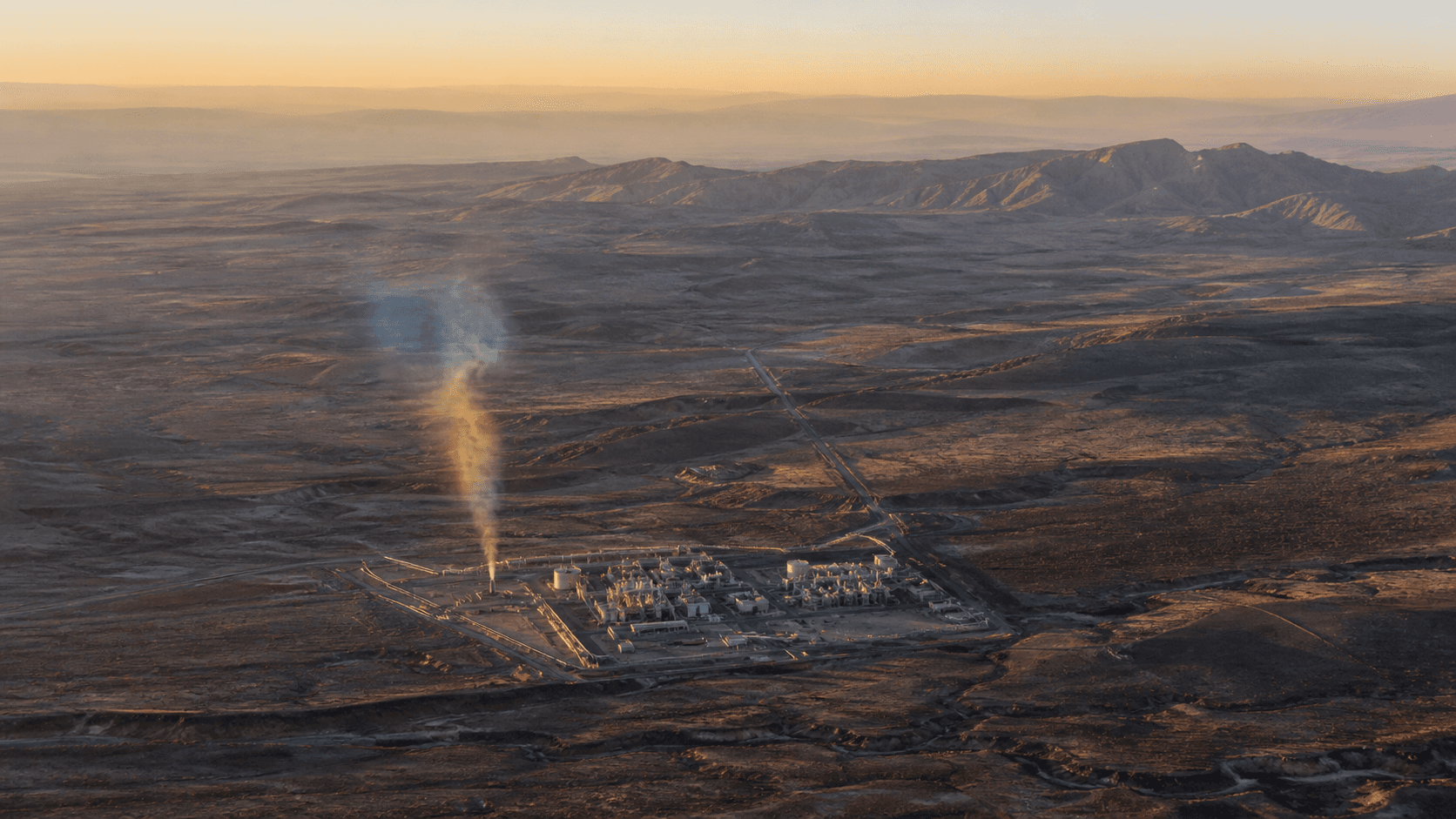
Satellites have been able to see methane for years. The expensive part has been turning oceans of spectral data into a reliable list of leaks someone can actually fix. Google Research's new MAPL-EMIT framework attacks that bottleneck by automating plume detection, emissions estimation, and likely source identification in data from NASA's Earth Surface Mineral Dust Source Investigation mission.
Google reports that the system reached 84 percent recall on expert-annotated plumes and found roughly 50 percent more plausible plumes across about 1,100 EMIT image granules. Those are research results, not proof that every detected plume represents a confirmed violation. The team explicitly notes that false positives remain and provides confidence scores and lower-confidence tags to support human review.
The training approach is the clever part. Real methane plumes are scarce, irregular, and expensive to label at global scale. The researchers generated 3.6 million physics-based synthetic plumes and injected them into real EMIT scenes. That gave the model varied terrain, atmospheric conditions, and plume behavior without pretending that a small curated dataset represented the whole planet.
The system then combines spectral detection with wind information and spatial context to estimate emissions and identify probable infrastructure sources. In plain English, it moves the output closer to an address and a repair decision. A beautiful plume map has scientific value. A prioritized source list has operational leverage.
Methane is a particularly useful target because reducing large leaks can produce climate benefits quickly, and many emissions come from concentrated equipment failures or operating practices. The problem has always been discovery, verification, and accountability. Continuous observation changes all three, provided operators and regulators can trust the system well enough to act.
Google is releasing the model, training data, application, and inference library. That matters because climate monitoring should not become a closed oracle controlled by one vendor. Independent researchers need to test failure modes, regions with weak performance, and whether confidence scores hold up outside the environments used during development.
This is what useful Earth intelligence looks like. It does not stop at a satellite image or a benchmark. It compresses the distance between sensing and action. Once a leak can be found, quantified, traced, and ranked at scale, enforcement gets sharper, maintenance becomes more targeted, and pretending nobody knew becomes a much harder business strategy.
LaunchPad positionRemote sensing becomes economically powerful when it moves from imagery to decisions. The value is not seeing a plume. It is finding the source quickly enough that an operator, regulator, or insurer can do something about it.
This report draws on the linked primary sources and reputable reporting. Company statements are treated as claims until independently demonstrated.